
Our Services
Progressive Survey Solutions provides exceptional survey services using the latest survey equipment (RTK GPS, Drones, Laser scanners and Robotic Total Stations) and software to complete the job on time and put your project on the map!
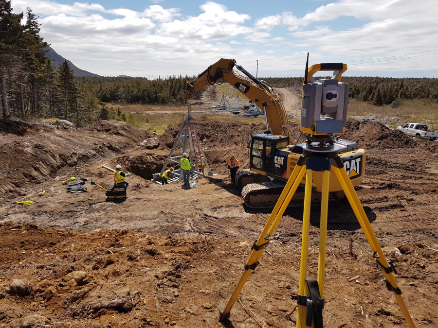
Civil and Infrastructure
Prior to establishing Progressive Survey Solutions, members of our team have been involved in multi-million dollar transmission line, highway and bridge projects. We are proud to offer a wide range of experience in building transmission line and roads of any size. Here is a list of the surveying and engineering services we offer:
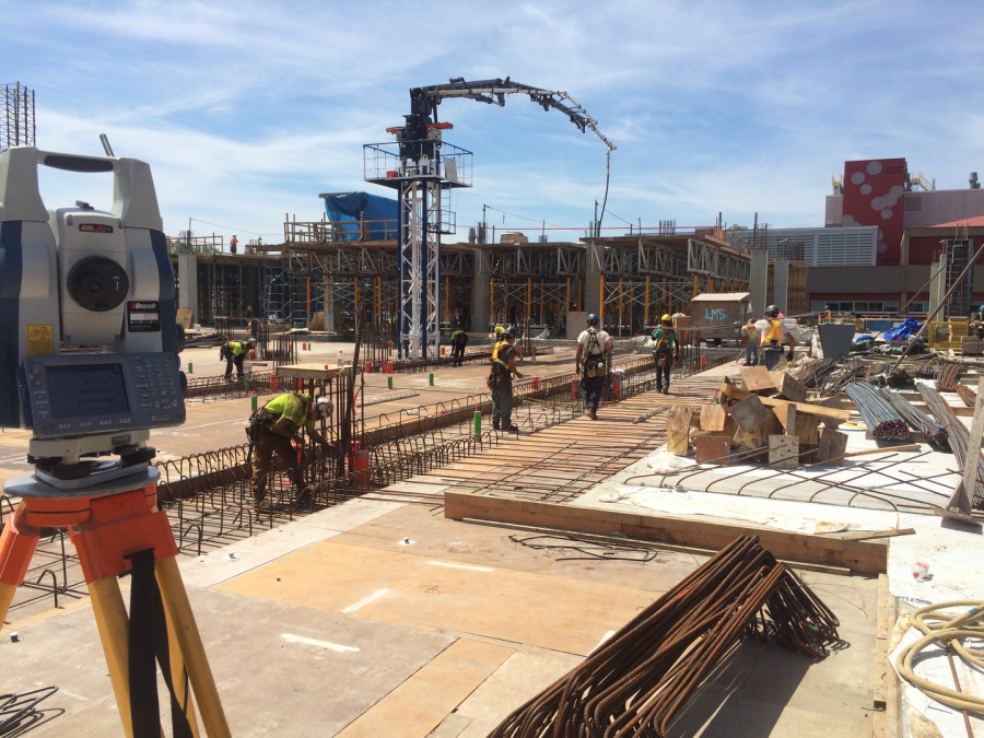
Commercial and Industrial
Progressive Survey Solutions has been a key member on small and large steel and concrete structural projects. PSS will work extremelly precisely to bring the highest degree of confidence when millimetre accuracy is needed.
- Vertical Concrete/Steel column
- Elevator shaft/core
- Concrete underground parking lot and ramps
- Slab band layout
- Prepour check reporting
- Survey control network horizontal and vertical on highrise
- Abutment walls on bridges
- Geometry monitoring on large vertical concrete pour for adjustment
- Elevated structural alignment layout
- 3D scanning point clouds
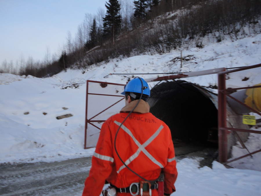
Mining
We have successfully worked on exploration projects and producing mines providing state-of-the-art 3D mapping data and construction survey layout services (RTK GPS, Drone and Total Station millimetres accuracy). Our extensive underground experience, whether surveying or mine planning, makes us a leader in the field.
- Survey layout of underground drifts, slot raises, long holes, cut and fill, ventilation
- Underground Check survey with baseline analysis and methodology reporting
- Survey layout of open pit benches, blast patterns
- Volume calculations of underground or surface for Ore, Waste, Stockpile, Acid generating rocks
- Drone surveys (ortho photo and point clouds)
- Plan highlighting pay period production, schedule, and bonuses
- Tailings dam layout, slope staking, volume of different material used for construction
- Short term mine planning, geology control changes to long term plan
- Grouting plans and layout
- 3D mapping of historical plan and survey to make necessary adjustment of geometry (Mine grid to UTM)
- Georeferencing area of interest on plan
- Road and trail planning for drill pad location
- Mill site and tailings dam location planning and layout or quality control
- Providing necessary maps and plan for permit application
- Design and survey of bulk sample (surface and underground)
- Database maintenance, revision, and adjustment
- Mapping and sections of existing working area (surface and underground) and mine planning of future development
- 3D scanning point clouds